The Cahaba River Sections
The following information is a compilation of notes I have taken from John
Foshee's book Alabama Canoe Rides. It is for quick access to data
pertaining to when I can go (water stage) and what sections to take depending
on whether I want to camp or just go for the day.
The idea Cahaba River waterflow conditions (averaged from online sources):
between 200 and 500 CFS
Topo Maps:
Irondale HEADWATERS
Cahaba Heights
Birmingham South
Helena
Greenwood
Pea Ridge
Halfmile Shoals
West Blocton East
Centreville West
Harrisburg
Heiberger
Marion North
Sprott
Suttle
Marion Junction
Sprott
Suttle
Marion Junction
Orrville
Blackwell Bend CONFLUENCE
Section 1
Length...: Miles
Put-in...:
Take-out.:
Drop.....:
Min Stage: ?.?
Med Stage: ?.?
Max Stage: ?.?
Topo Maps:
Notes....:
Section 1
Length...: Miles
Put-in...:
Take-out.:
Drop.....:
Min Stage: ?.?
Med Stage: ?.?
Max Stage: ?.?
Topo Maps:
Notes....:
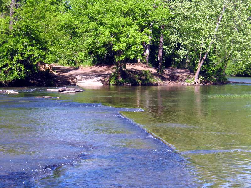
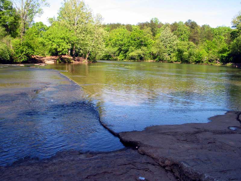
Section 6,7,8 (Hwy 52 - Booth's Ford (slab) (200cfs > optimal < 500cfs=caution)